
main content start
Portfolio News
ASR Graduates From Seed Stage Funding
Aug 27 , 2019
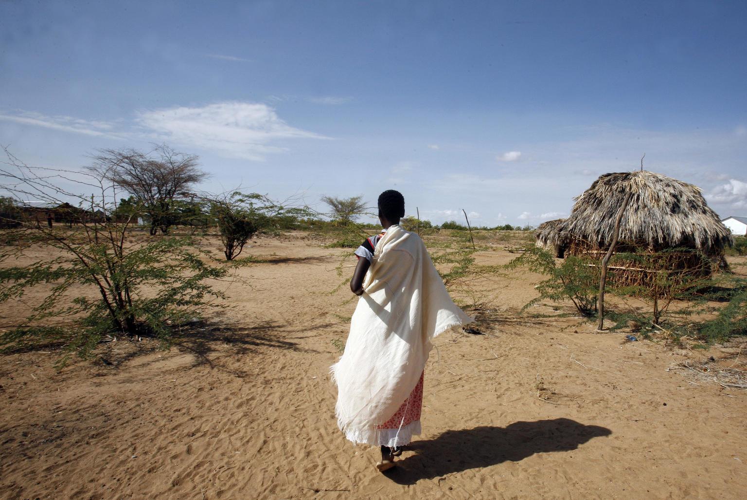
We rely on open source; these systems are mature, peer-reviewed and have proven dependable.
We have identified sets of tools we can depend on and have leveraged the most stable versions and developed our systems based on them.
Specifically, we have switched to Open Drone Map for our photogrammetry solutions. It is easy to configure and use, and the bulk of the modules we use are documented. We have forked it on GitHub to include some features we feel useful to us, and this development will continue.
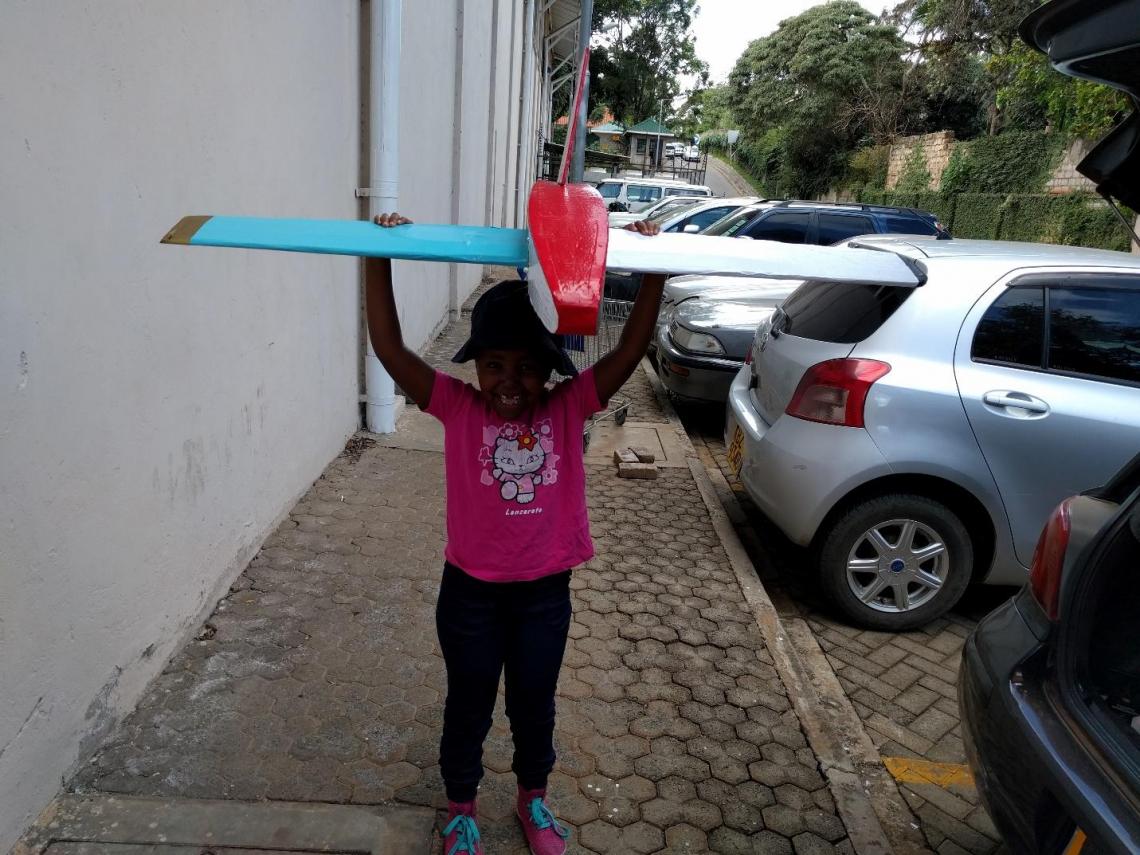
In addition, during our test flights, we've seen children come out to see us fly and saw the opportunity to also upskill them on this technology. We have started offering them classes on what we do and why we do it as a way to encourage them in their studies.


Remote sensing is a force multiplier in that we can gather analytics remotely using 1 drone to cover 1000 acres, otherwise difficult to do on foot and prohibitively expensive.

Related Stories


Portfolio News
June 17, 2026

Portfolio News
June 17, 2026

Portfolio News
June 17, 2026

Portfolio News
June 16, 2026
